Point Cloud Surveys
High-density 3D point cloud data capture with sub-millimeter accuracy. Perfect for complex geometries, heritage documentation, and as-built verification where every detail matters.
High-Density Data Capture
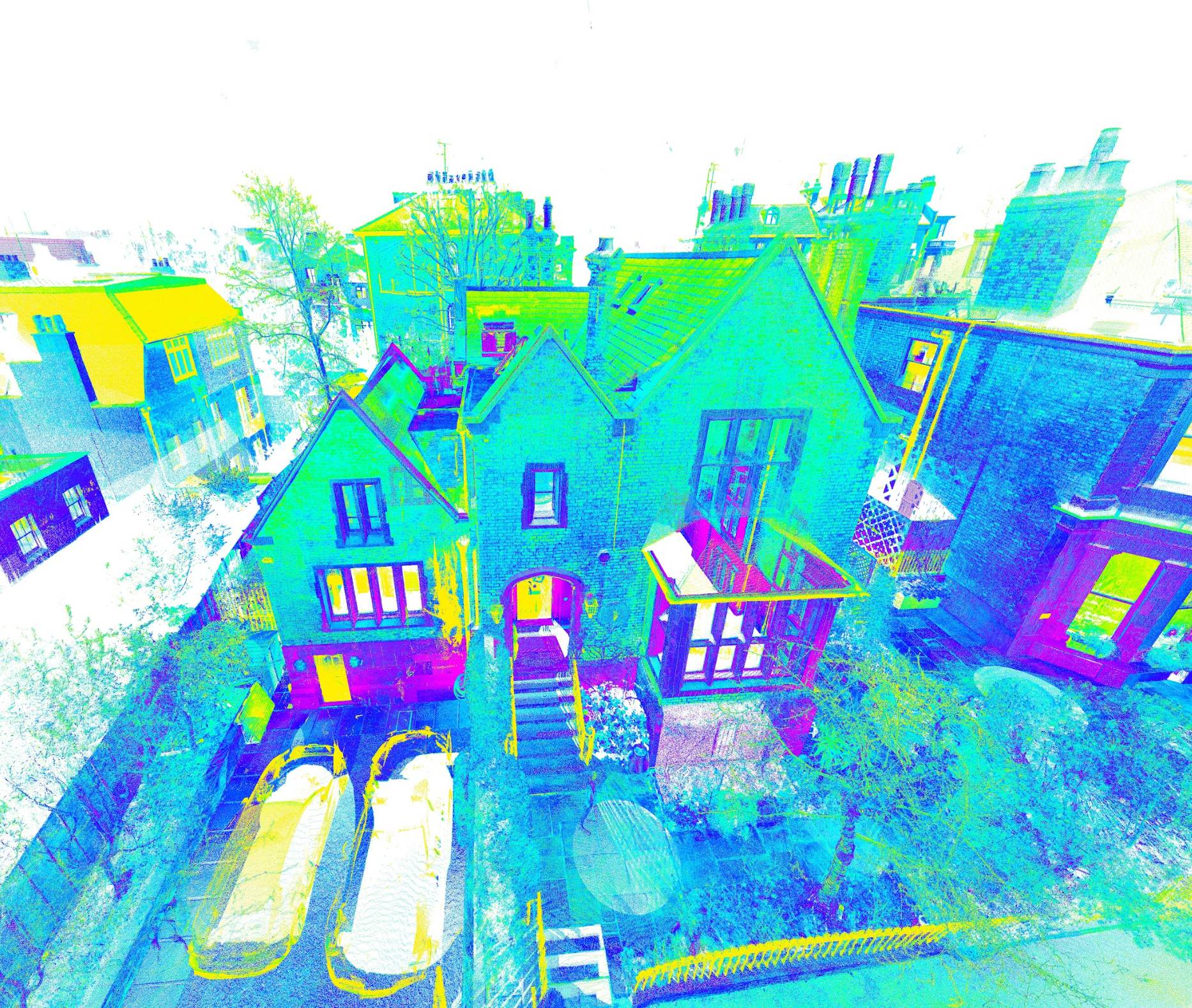
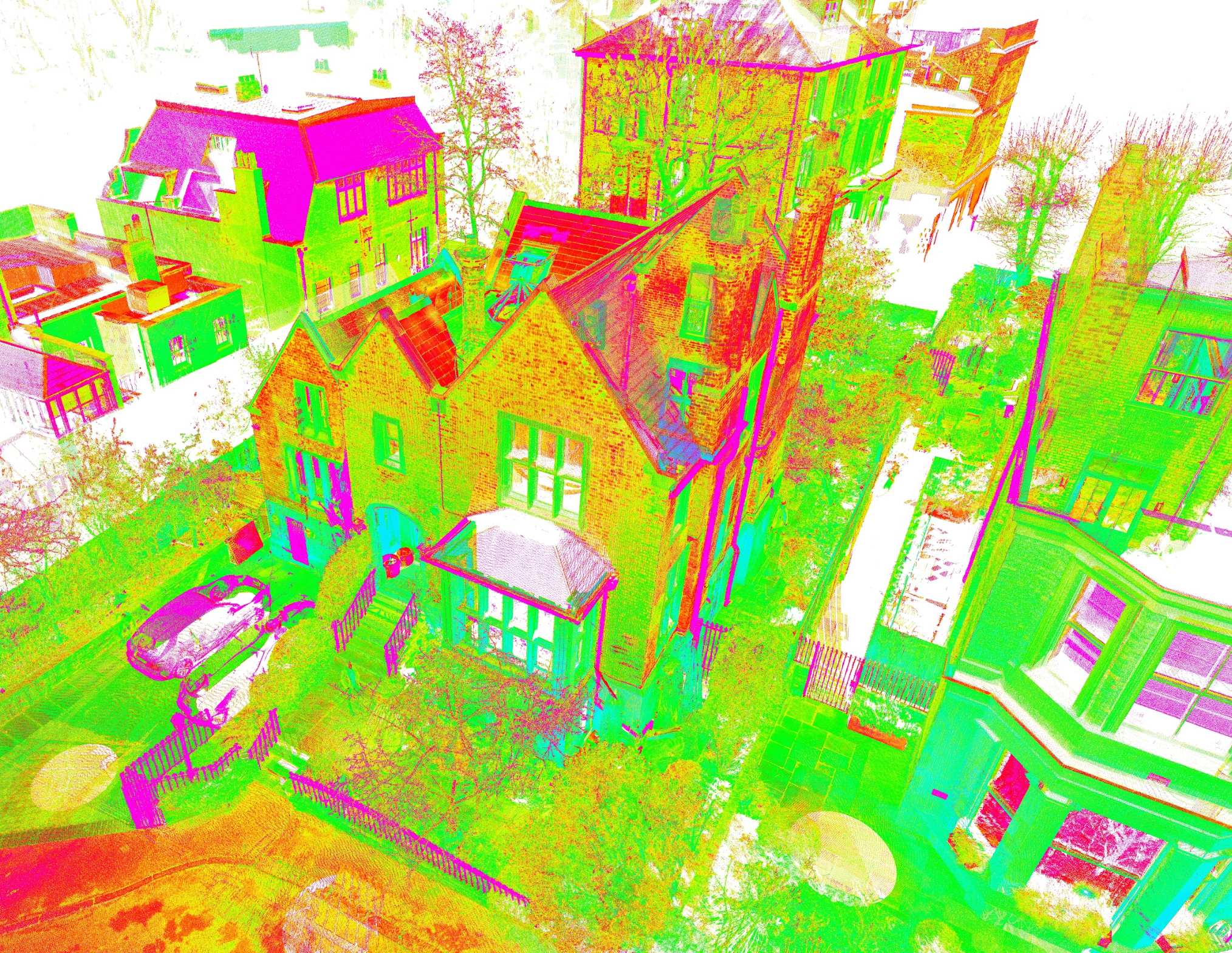
Our point cloud surveys capture millions of precise 3D data points with sub-millimeter accuracy, creating a comprehensive digital representation of your building or site. This high-density data provides complete detail for analysis and modeling.
Perfect for complex geometries, heritage documentation, and as-built verification where every detail matters.
Get in TouchAdvanced Processing
State-of-the-art processing software cleans, registers, and optimises your point cloud data. We remove noise and irrelevant points while maintaining full geometric accuracy for your specific project requirements.
Data is delivered in industry-standard formats including LAS, E57, PLY, and can be directly imported into BIM, CAD, or GIS workflows.
Get in Touch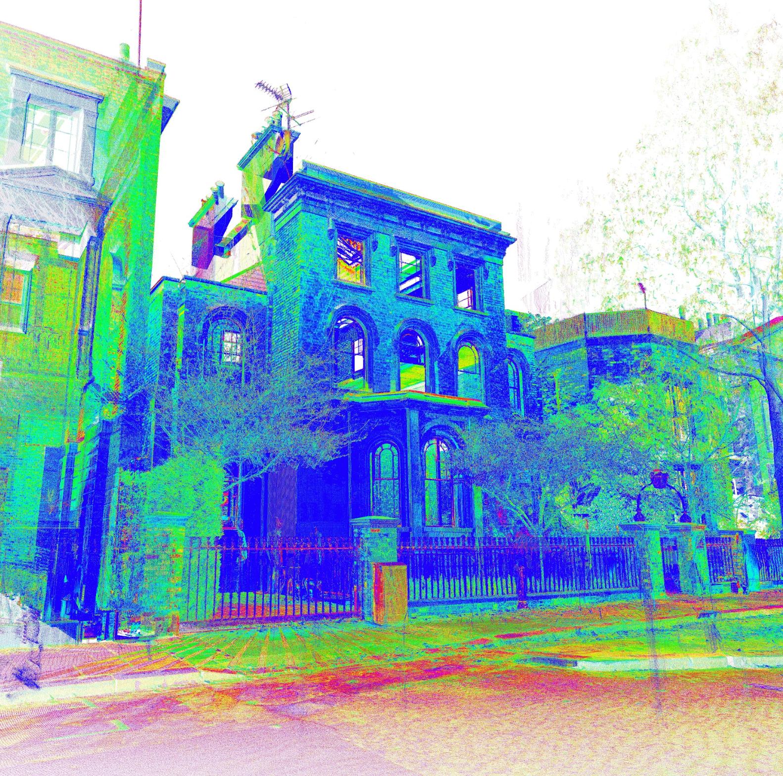
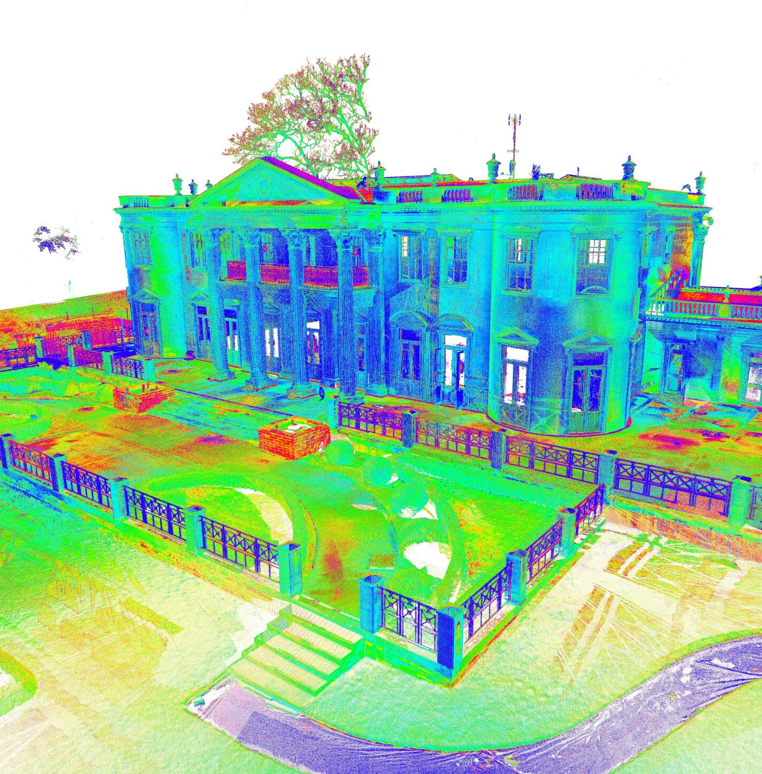
Visual Analysis & Documentation
Interactive 3D visualisation tools allow detailed inspection and analysis of your building data. The colorized point clouds show elevation changes, enabling easy identification of structural features and potential issues.
Point cloud data creates a permanent digital record of your building that can be revisited at any time for measurements, analysis, or future project planning.
Get in TouchClient Testimonials
See what our clients say about working with us
"We've worked with Scott for many years and know that we can always depend on him to deliver detailed, accurate, high-quality results. This is important to our business and also very beneficial to our clients, as high-standard precision is essential for the basis of architectural proposals – particularly for complex requirements such as planning applications within conservation areas. Scott is also a good communicator and a pleasure to work with."
"We have used Collins Architectural Surveys for at least six years, they are our go-to firm for measured surveys. They work hard to understand our requirements, often going above and beyond to deliver excellent surveys within tight deadlines."
"We regularly require measured surveys at the outset of our projects. For over five years our preferred surveying company has been Collins Architectural Surveys. We have found them to be professional and responsive, and they have coped with a wide variety of project and building types without issue."
"Precision, detail and accuracy is everything my company stands for, and none of this would have been possible without Scott's involvement."
"Collins Architectural Surveys are fast and efficient. They always provide a high level of service and quality in each and every project."
← Drag to see more testimonials →
"All site scans are personally carried out by me to ensure the highest level of accuracy and detail."
Ready to Start Your Project?
Get detailed 3D point cloud data for your project. Contact us for a consultation and quote.